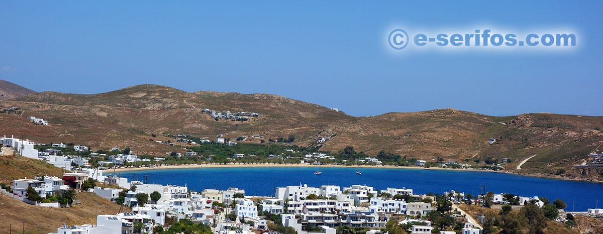
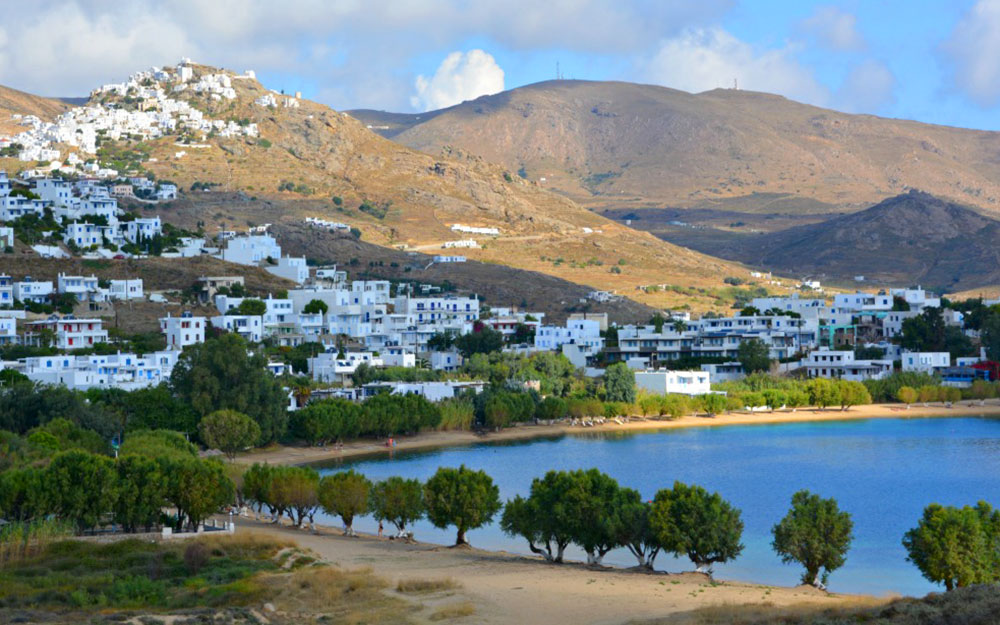
Beaches in Serifos
Description and information on the beaches of Serifos
Organized, calm and secluded beaches in Serifos
Serifos is an island with beaches that cover all tastes. Rocky beaches, beaches with small pebbles and golden sand beaches with crystal-clear waters, beaches with road access, beaches with an access through picturesque paths and others that are accessible only by the sea. On this page you will find information, how to reach and photos of all the beaches of the island.
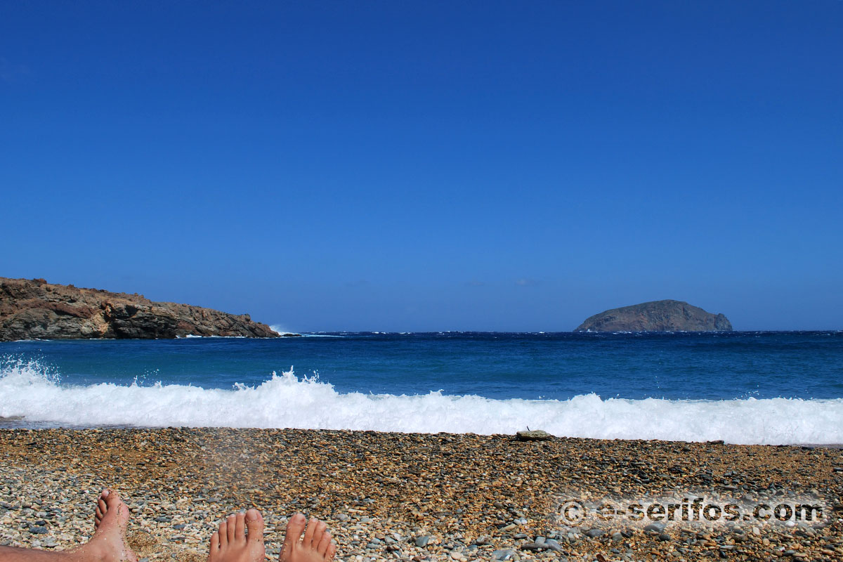
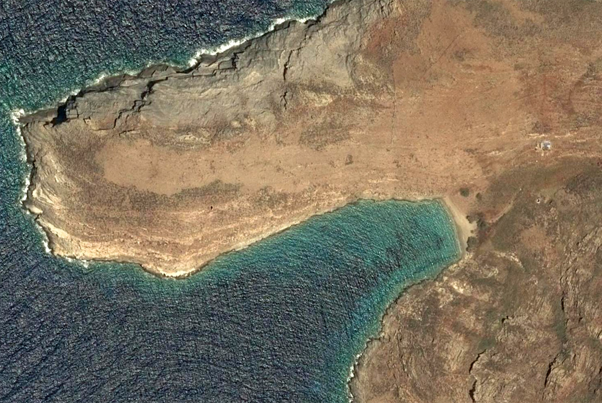
If you ask the locals, they will tell you that in Serifos there are over 70 beaches and that’s not a lie. The island has many small and big bays around it, some with sand some with pebbles, all of them really beautiful, which are accessible only by boat.
Therefore, if you have a boat you can explore the island by the sea and discover the rest of its beaches. It is certain that one of them shall steal your heart!
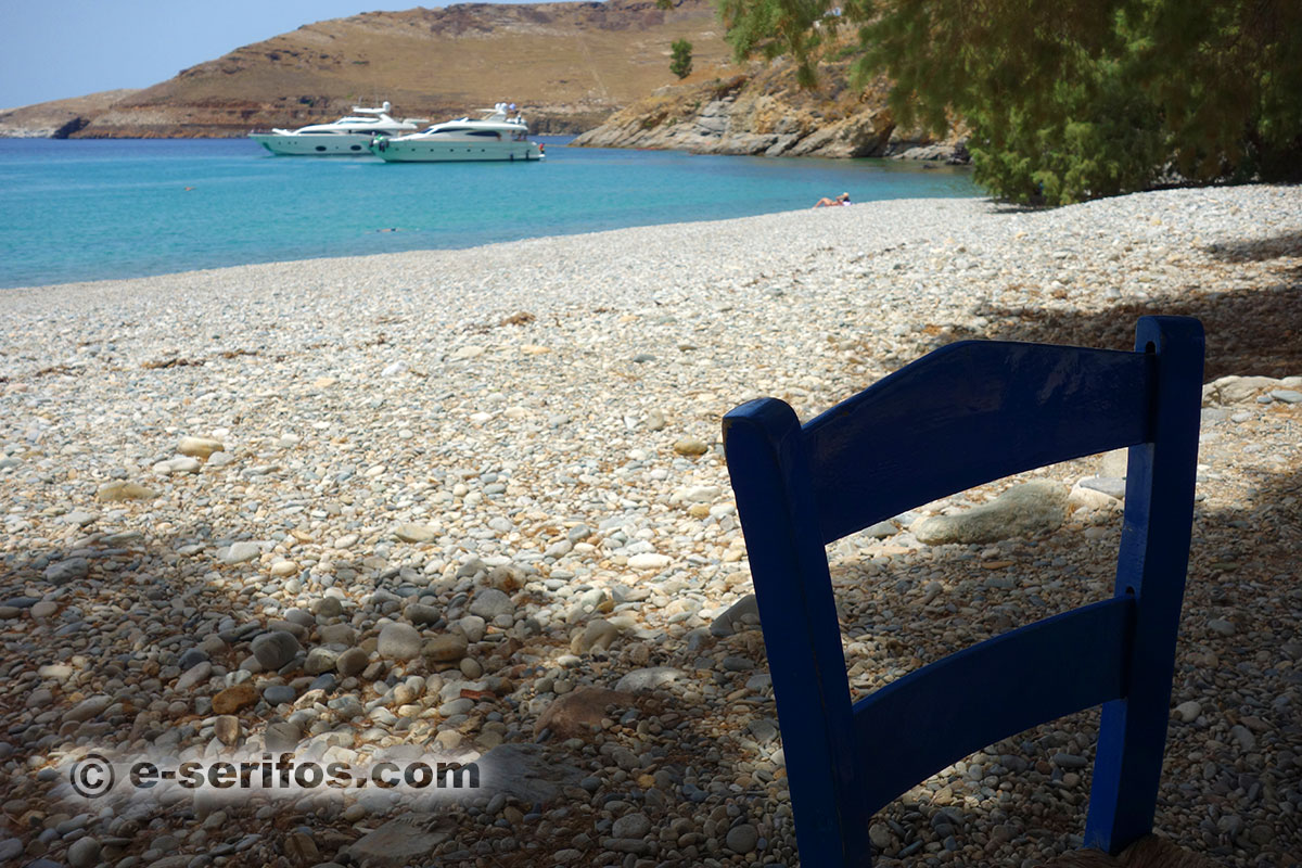
Avlomonas
Avlomonas beach is the first beach that you see when you get out of the boat. This beach is in fact the natural extension of Livadi, where the port of Serifos is situated.
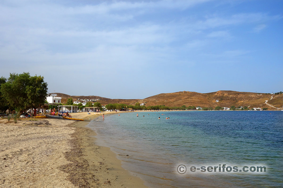
Beach
Golden fine sand, shade from tamarisk trees and sufficient number of deck chairs and umbrellas. Here, you will find cafeterias and restaurants with tables right on the beach and rooms to let.
- sand
- access by car, bus, boat
- partial shading from tamarisks
- umbrellas and sun loungers
- sea water sports
- rooms and hotels
- cafés and restaurants
- mini market
Sea
Clean sand and the depth is small for quite a few meters, making it ideal for water games.

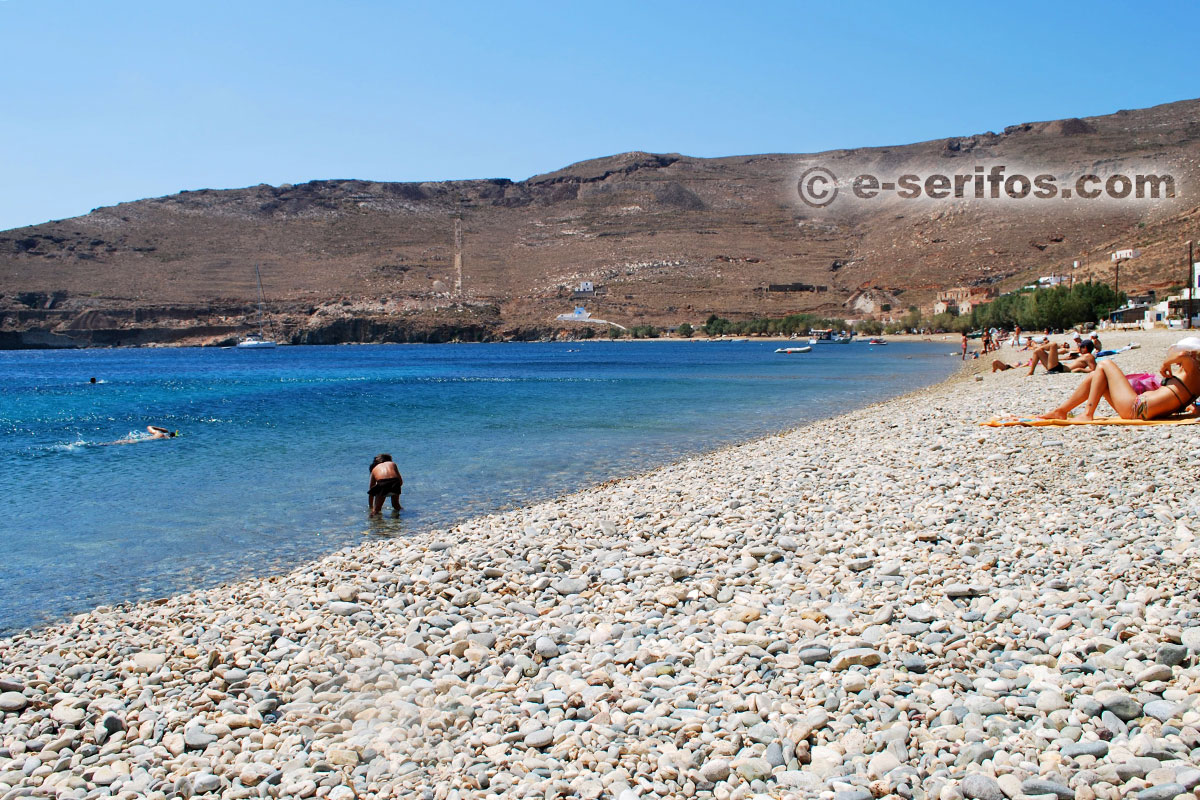
Livadakia
It is a sandy beach in the south of Livadi with tamarisks that offer their shadow.
- sand
- access by car, bus or by foot from Livadi
- cafés and restaurants
- rooms and hotels
- sea water sports
Beach - Sea
Sand covers the entire beach and the bottom of the sea while the water depth increases gradually. All along the beach there are tamarisks offering their rich shadow. There are also restaurants and cafés.

Karavi
It is a small sandy beach with a view of the island of Sifnos, where you can go on foot from Livadaki or by taking the little road that begins from the settlement of Ramos.
- sand
- access by path, boat
Beach
There is no shadow on the beach and you won’t find any shops either therefore you must bring your own supplies in order to enjoy your swim.
Sea
The water depth increases gradually while the bottom of the sea is mainly sandy. Water is really amazing with its intense blue-green colour.

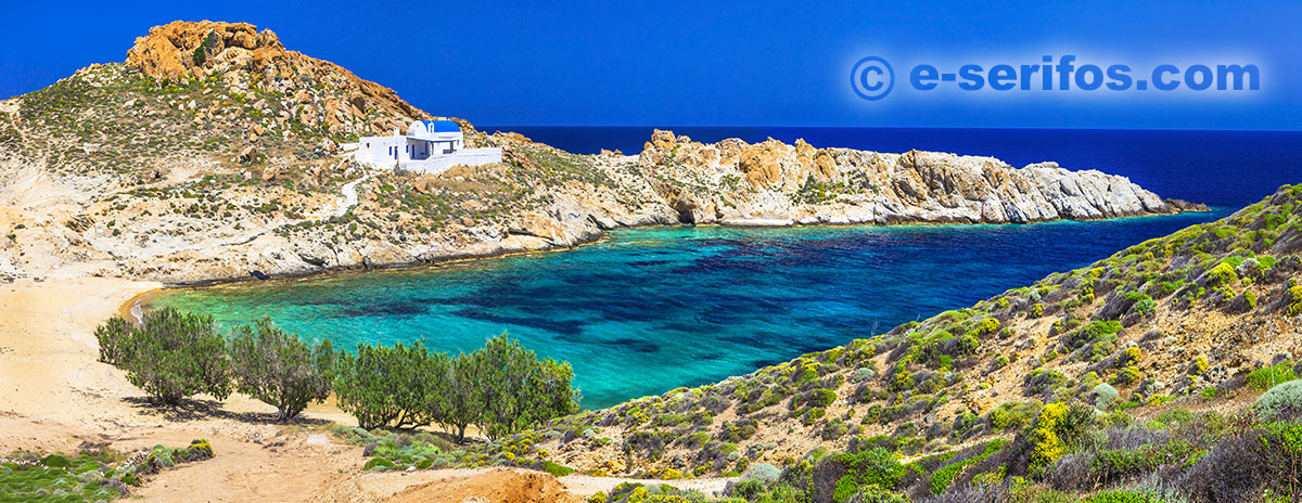
Kalo Abeli
It is a beautiful beach on the south side of Serifos, with blue-green water, which is surrounded by rocks, sculptured by the weather elements.
- sand
- access by car and then short path (20'), boat
Beach
It is a small gulf with transparent turquoise water. On the beach there are no trees, therefore you should bring your own parasol and water.
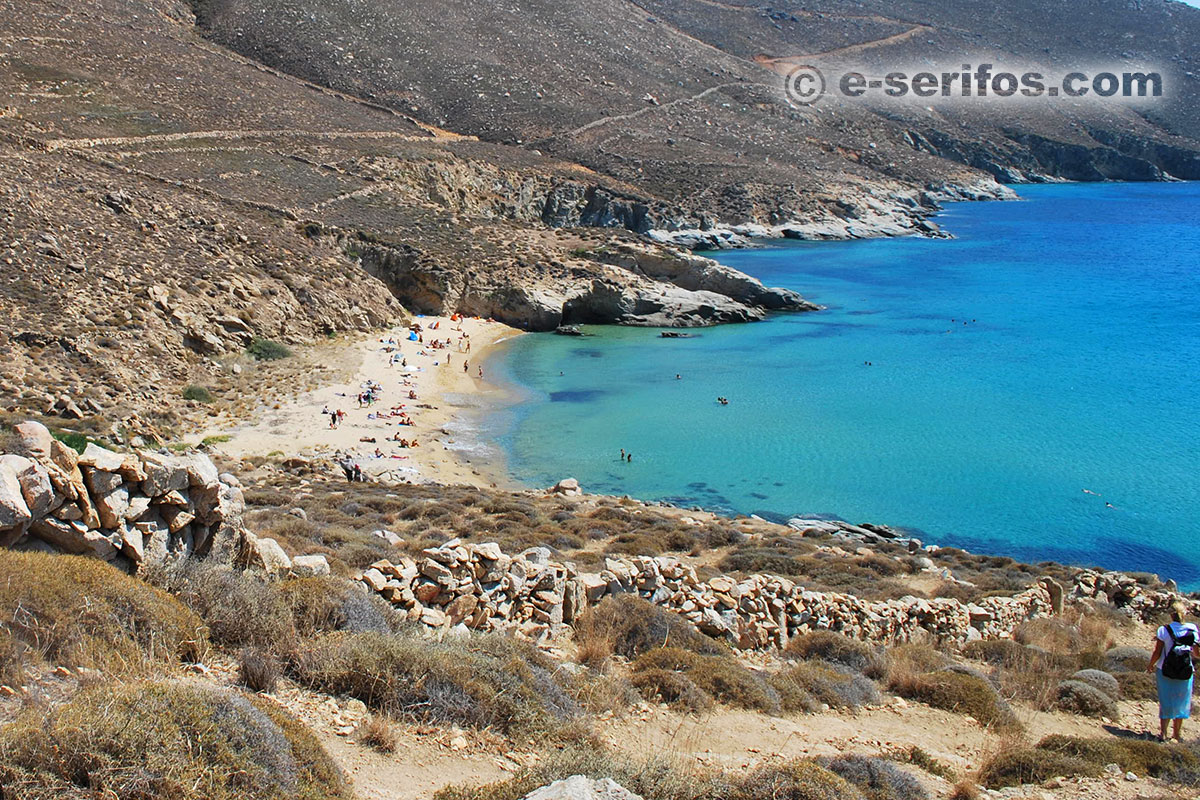
Sea
Clean golden sand, with sculptured rocks both inside and outside the sea. The depth increases gradually.
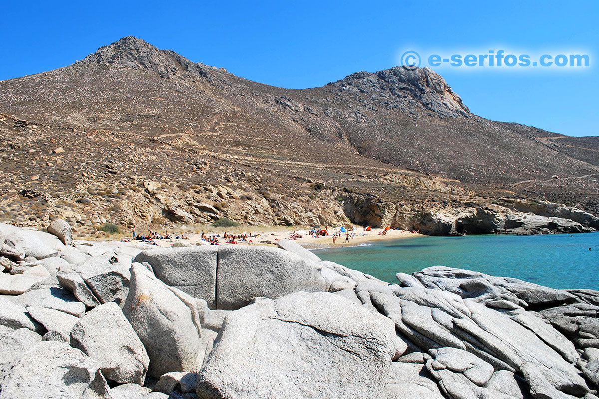
If you see a ship passing by, you’d better collect your belongings till its wake that creates waves passes.

Vagia
Following the street from Livadi to the bay of Koutalas, it is the first beach that you see before Ganema and Koutalas.
- sand
- access by car and short path
- umbrellas and sun loungers in a small area
Beach
Golden thick sand covers the entire beach but there are no trees for natural shadow.
Sea
The water is clean and it has a smaragdine colour while the colourful pebbles in the bottom of the sea make this beach ideal to be explored with a mask. On the right side there is a big stone plate but the rest of the beach is sandy and it doesn’t create any problem as regards your access into the water.

Ganema
On the south side of Serifos, at the bay of Koutalas, right after Vagia, you will find Ganema, one of the biggest beaches of Serifos.
- white pebbles on one side and sand on the other side
- access by car
- shading from tamarisks
- café-restaurants (one on the beach and one a little bit further up)
Beach
A beach for all tastes, since half of it is covered by sand while the other half is covered by white pebbles. On a big part of the beach there are tamarisks offering their rich shadow.
Sea
Golden sand and fine pebbles cover the bottom of the sea while the depth increases gradually. The side which is covered by sand is ideal for families and for games on the beach.

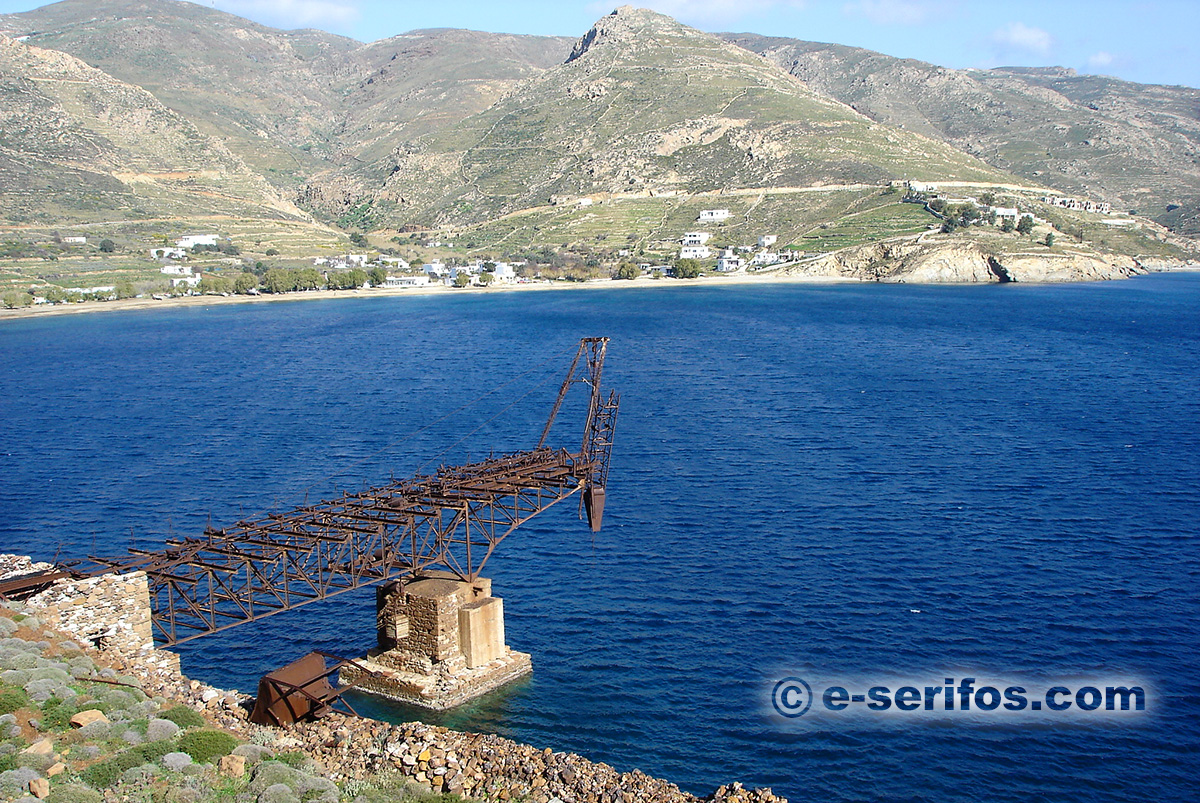
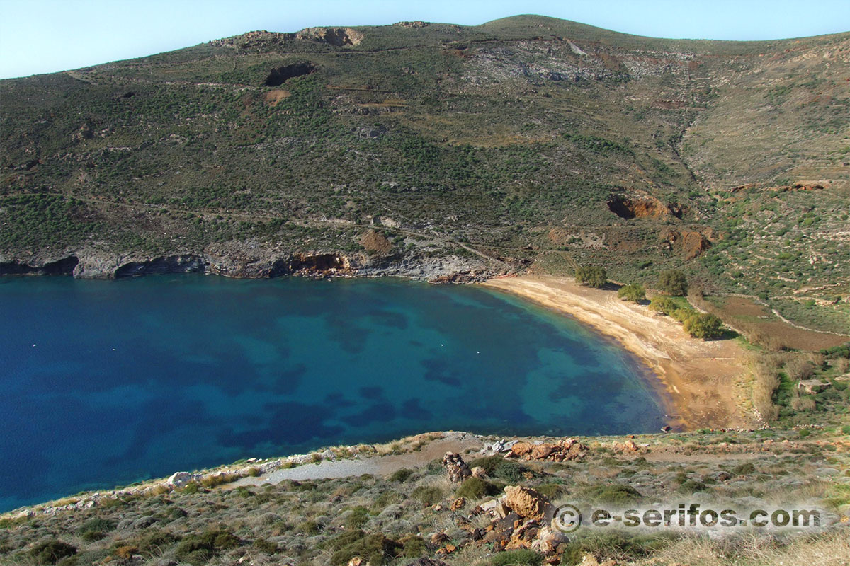
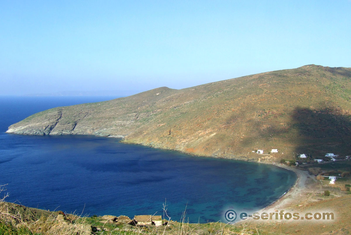
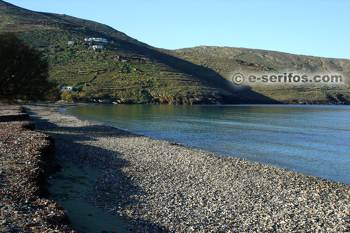
Koutalas
It is the third beach of the bay of Koutalas, after Vagia and Ganema. The scenery is really beautiful since here you can see the old mine installations. Behind the beach there are old buildings that used to cover the miners’ needs.
- pebbles and sand
- access by car
- shading from tamarisks
- cafe-restaurant
Beach
Like in Ganema, here as well one side of the beach is covered by pebbles that gradually turn into sand, on the other side.
Sea
The bottom of the sea is covered by pebbles that gradually give their place to sand, while the depth increases gradually.

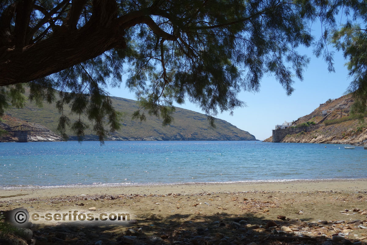
Maliadiko
It is a gulf which is very well protected by the wind, and it is accessible by a dirt road. The road is downhill; it starts right after Koutalas and it is directed towards Megalo Livadi. It is preferable that you leave your car at the first flat area that you find and continue on foot (about 5 minutes).
- sand and fine pebbles
- access by car (dirt road) and then path, boat
- partial shading from tamarisks
Beach
The beach is covered by thick sand and fine pebbles and there are some trees offering their shadow. Here, you may find campers since many people prefer this beach because of its remote location and the protection it offers from the wind. Over the beach you can see the galleries that were used in the past by miners.
You’ d better carry water and snacks with you.

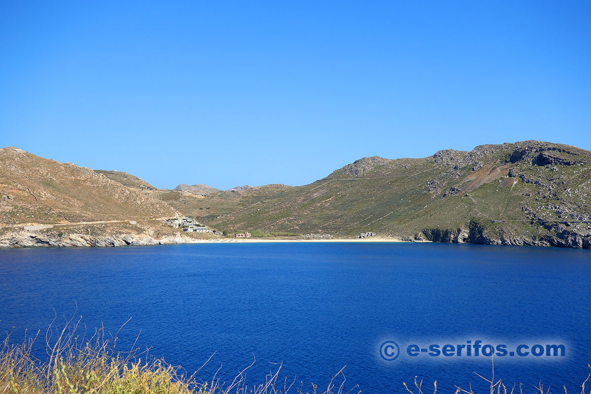
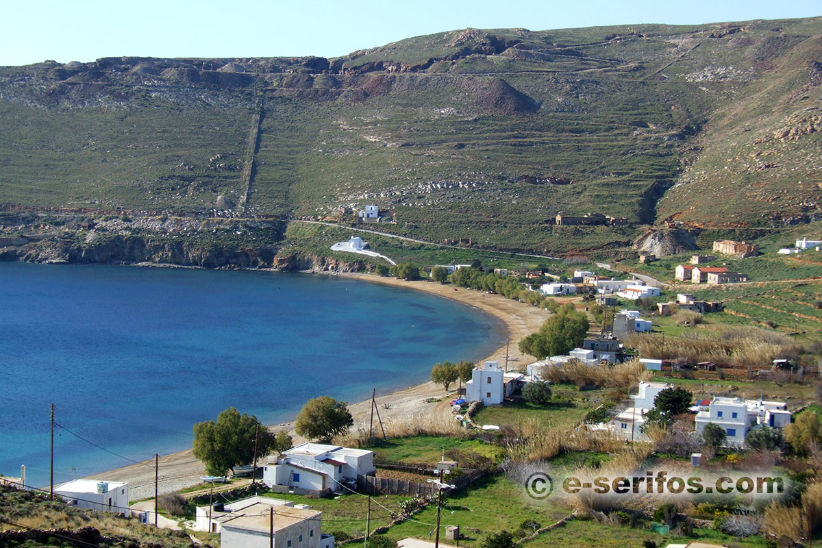
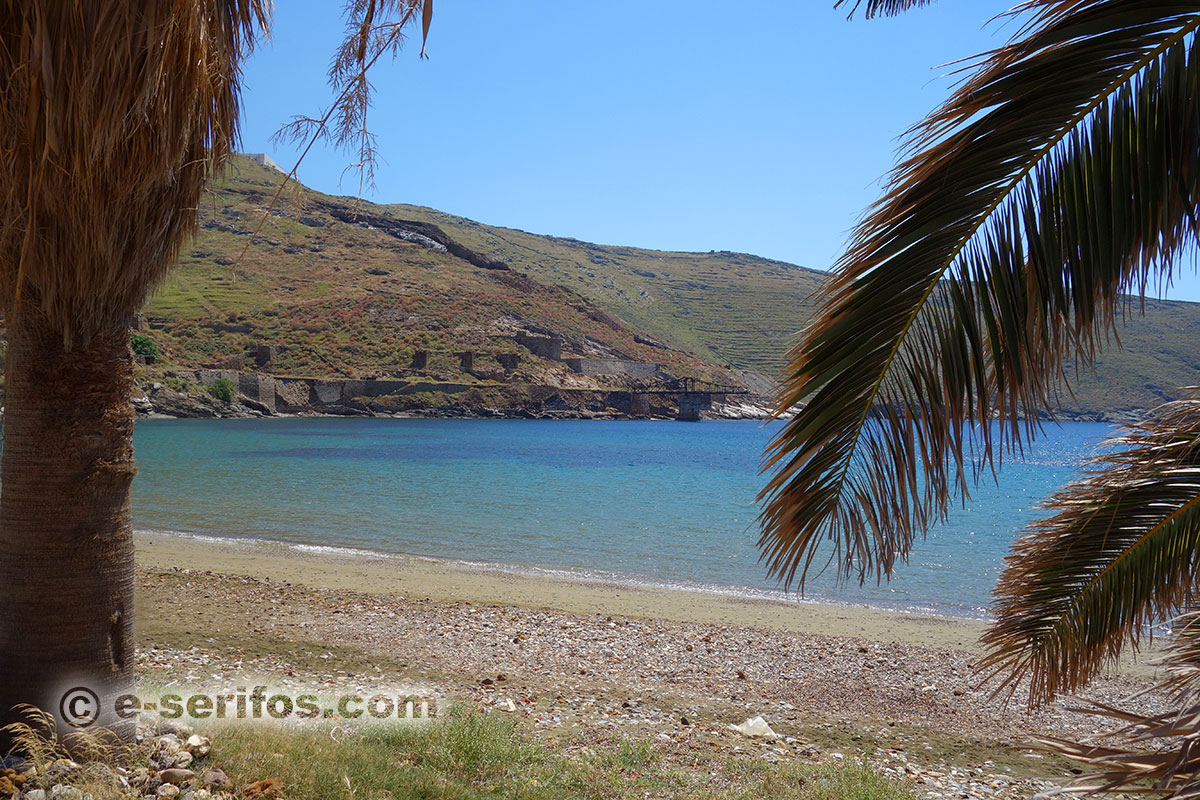
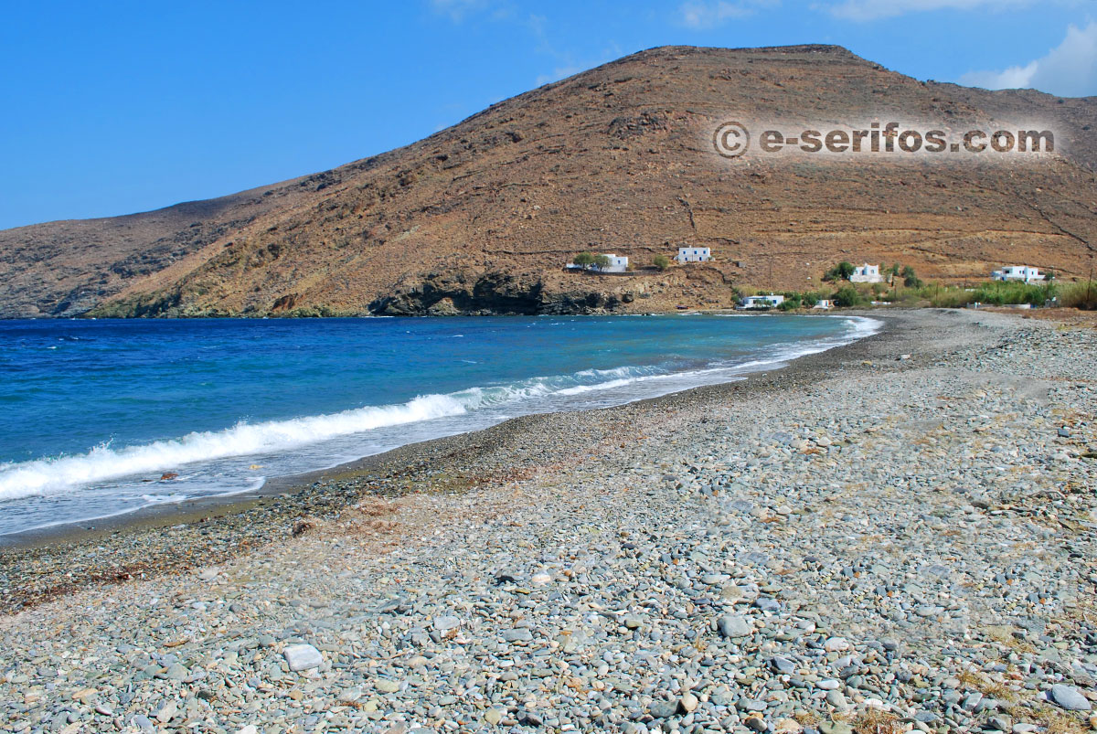
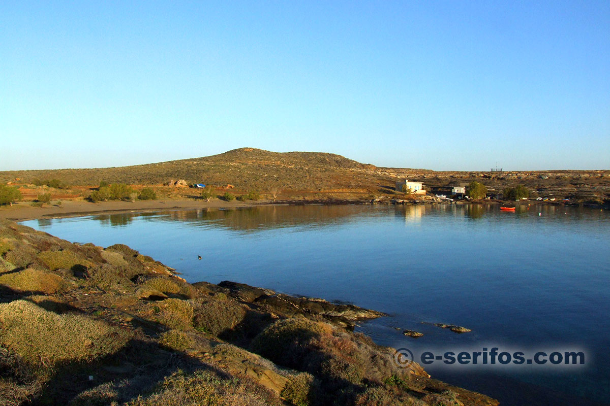
Megalo Livadi
Megalo Livadi is situated on the south-west side of Serifos and it is a special area because of its rich history that connects it with the mines. On one side of the area dominate the mine installations and it is worth taking a walk there! If you keep walking beyond the first installations you will get to the mine galleries and you will also see the chambers that used to operate like "spa" for the miners.
Over the beach you may also see the abandoned administration building of the mines and the marble memorial in honor of the striker miners.
If you want to explore the galleries, you’d better find a local guide because you might get lost in the gallery network.
- sand and pebbles
- access by car, bus
- shading from tamarisks
- cafés-restaurants on the beach
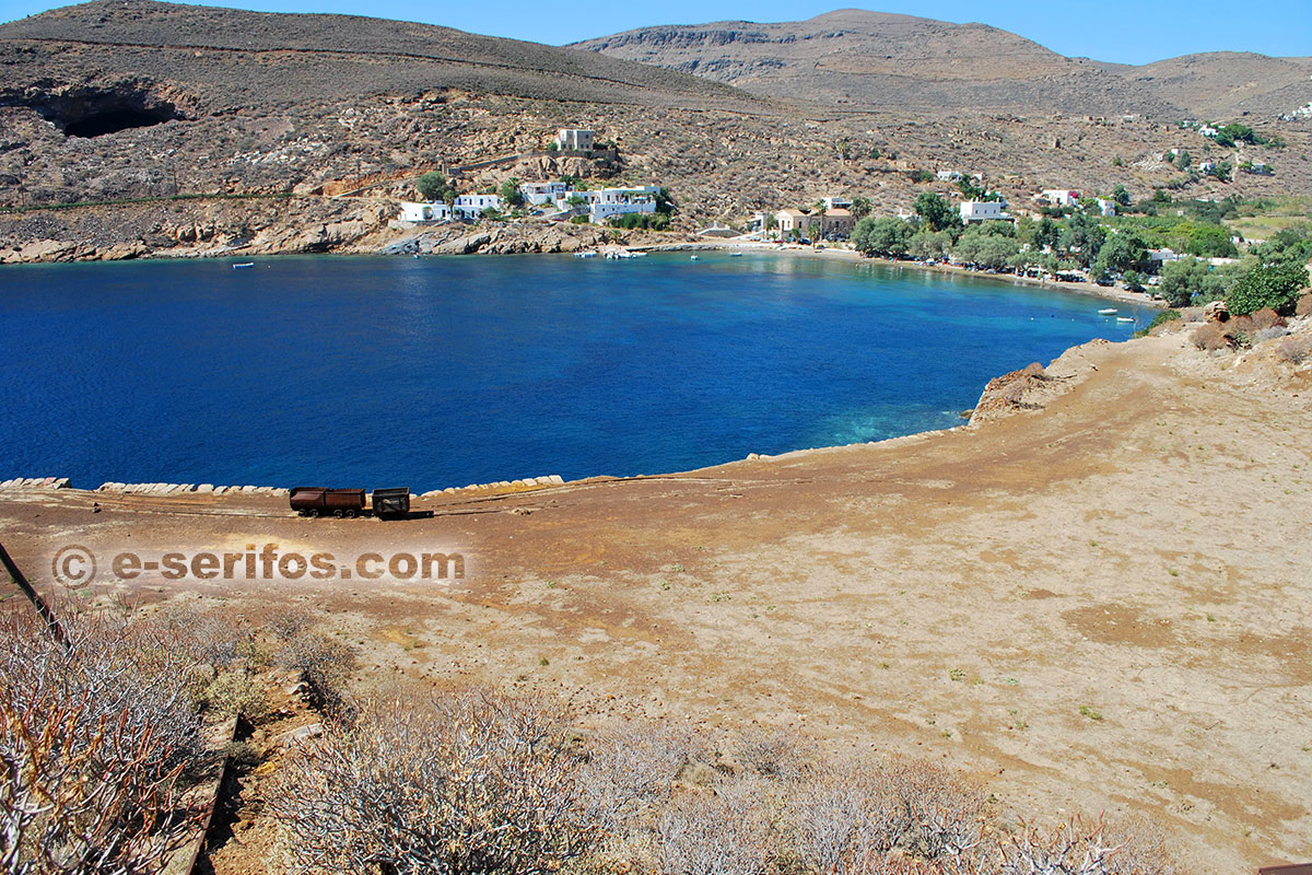
Beach
Its bigger part is covered by dark sand and there are some tamarisks offering their shadow. It is ideal for families with children since there are two restaurants with tables right on the sand.
Sea
Water is shallow for some distance and then it gets gradually deeper and the bottom of the sea is covered by sand and pebbles.

Avessalos
An easy dirt road (about 4 klm) leads to the big pebble beach on the west side of the island, where it is worth staying till the afternoon to enjoy the sunset. In the area you will see smelting remains.
- pebbles
- access by car (dirt road), path
Beach
The beach is covered by pebbles and there are a few trees offering their shadow.
You’ d better carry water and snacks with you.
Sea
The colours of the seafloor are magnificent here as well. The water here is smaragdine and transparent, creating really beautiful images.

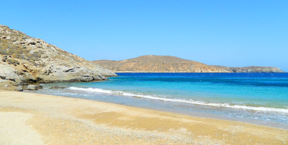
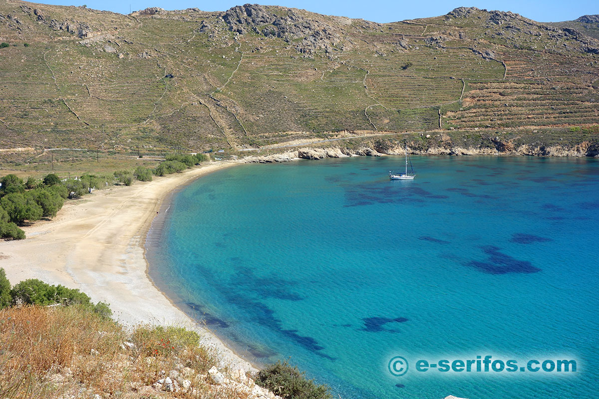
Sikamia
It is one of the biggest beaches of the island and it is situated on the north-west side of the island. You’d better get information on the weather before visiting it, because it is exposed to the north wind.
You can get here by road, which is an easy dirt road for the last 500m. or take the path starting from Galani.
- sand with some pebbles
- access by car, path
- shading from tamarisks
- restaurant
Beach
Fine sand with some pebbles here and there and rich shadow offered by tamarisks all along the beach. There is also a restaurant on the back side the beach that stays open during the summer.
Sea
The depth increases gradually and the seafloor is covered by sand while the colour of the water is magnificent.

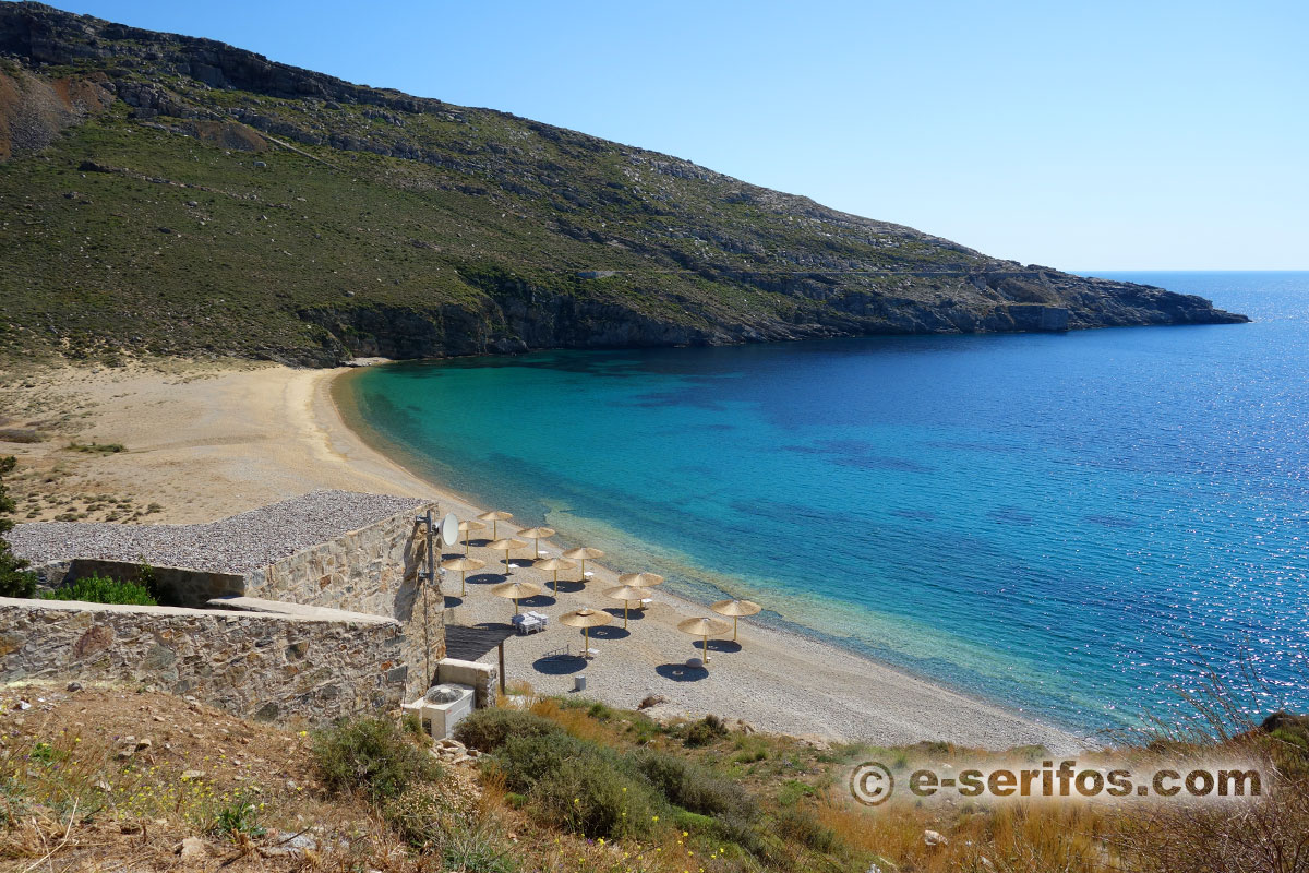
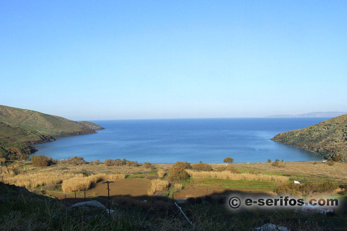
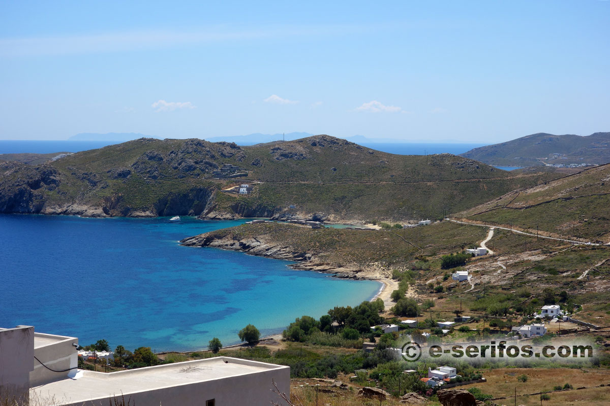
Platis Gialos
It is located on the north side of Serifos and the street starts near the monastery of the Taxiarches. On the starting point of the street you will find Panagia Skipiani. The particularity of the gulf of Platis Gialos is that in fact it includes three beaches, which are equally beautiful with Platis Gialos (Mesiano and Vorino). Once you get down to the sea side, the access to all three beaches is equally easy.
- sand
- access by car
- shading from tamarisks
- cafe-restaurant (at Messiano)

Beach
Golden fine sand with rich shadow offered by tamarisks.
Sea
Fine sand and a water depth that increases gradually, with blue-green water.

Ai Giannis
It is a golden sandy beach which is located on the eastern side of the island and you will find it on the way to Kentarhos. Its name is owed to the church of Agios Giannis which is situated here.
- fine sand
- access by car and a few steps
- shading from tamarisks
Beach
Golden fine sand with some pebbles and rich shadow by tamarisks.
Sea
Fine sand and a water depth that increases gradually, with blue-green water.

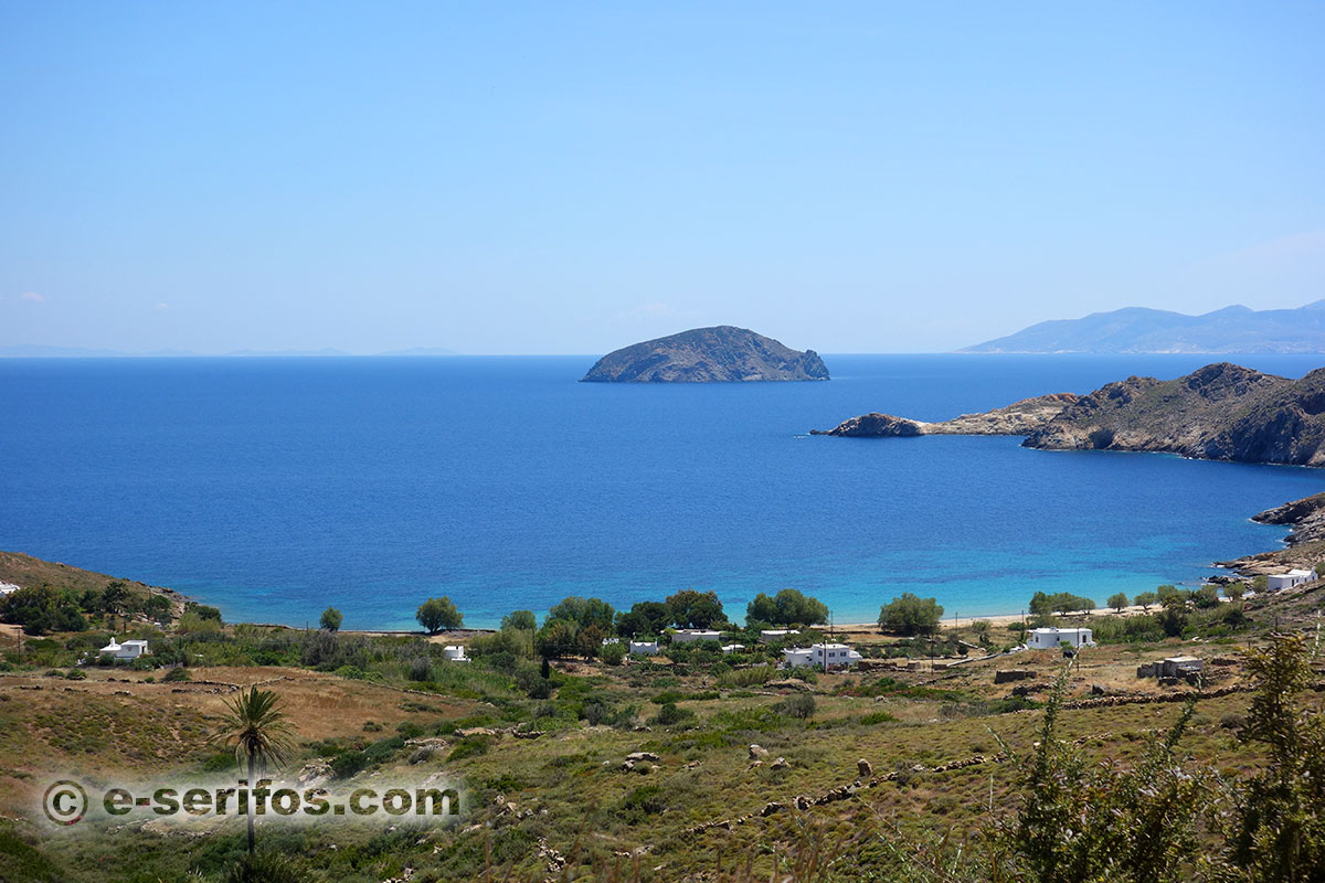
Psili Ammos
Next to the beach of Agios Giannis there is the beautiful sandy beach Psili Ammos, one of the most popular beaches of the island.
Psili Ammos has been awarded as the best beach of Europe in 2003. As it is indicated by its name, the entire beach is covered by fine sand while there is rich natural shadow offered by the trees.
- fine sand
- access by car
- shading from tamarisks
- cafés-restaurants
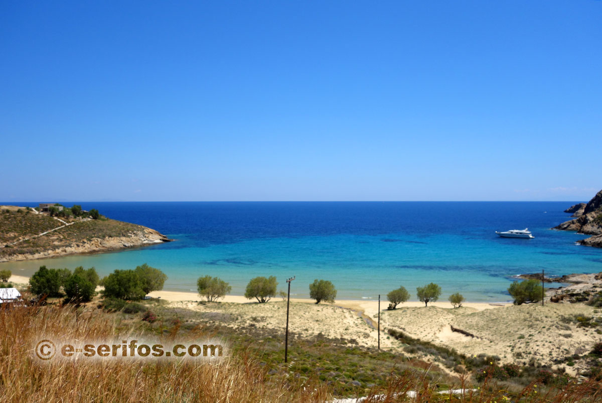
Beach
Golden fine sand with rich shadow offered by tamarisks.
Sea
Fine sand and a water depth that increases gradually.

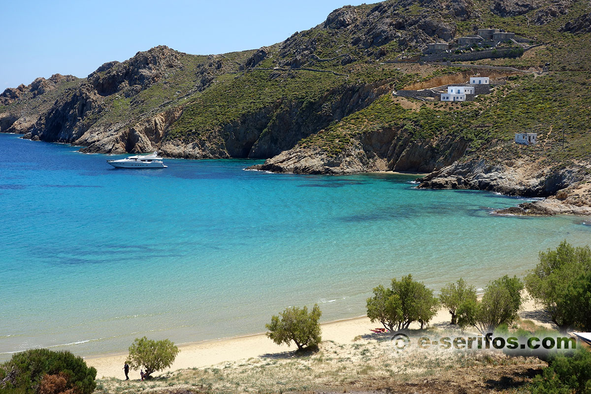
Agios Sostis
It is a sandy beach protected by the wind with deep blue waters, which is considered to be one of the most beautiful beaches of Serifos. Next to it there is another small bay with pebbles with a view to the island of Vous.
It was named after the church of Agios Sostis, which is situated on its side. It is worth taking a walk to the church and if you are in Serifos on the 6th of September, do not miss its celebration.
- fine sand
- access by car and a short path (5')
- shading from tamarisks
Beach
Golden fine sand with rich shadow offered by tamarisks.
Sea
Fine sand and a water depth that increases gradually.

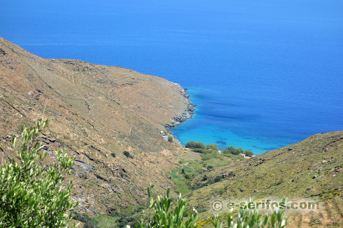
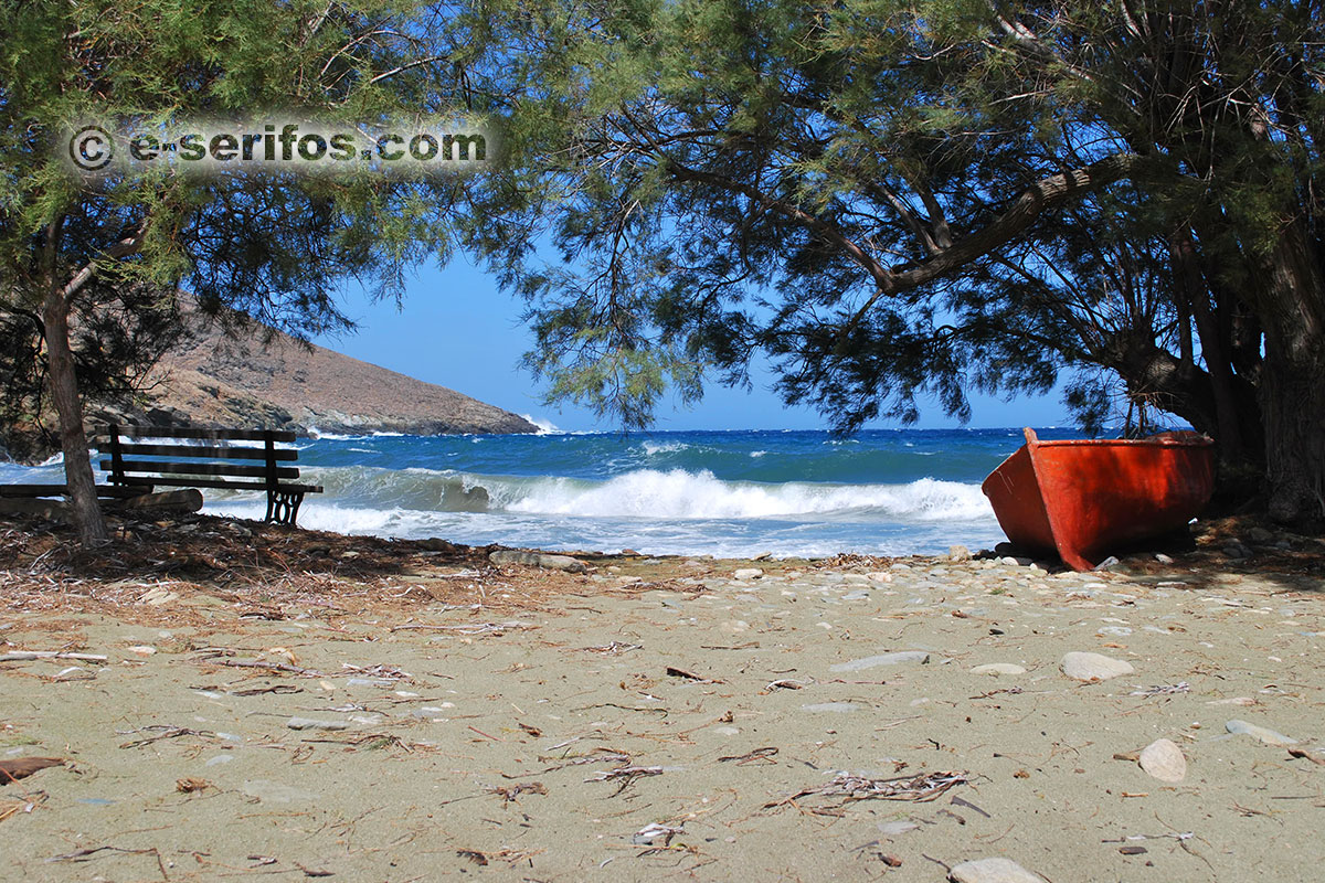
Lia
On the way that leads to Agios Sostis, take a turn a bit earlier, when you find the sign that leads towards the beach and after a short dirt road, leave your car. Take the path that you will find here and after about 10’ you will get to the beach.
It is a really beautiful beach in a wild landscape with rocks and divine waters. Opposite to it, there is the island of Vous.
- fine pebbles
- access by car and a short path (10')
You’ d better carry water and snacks with you and also a parasol if you intend to spend the entire day here, since there are no trees on the beach.
Beach - Sea
Fine colorful pebbles and no trees are the main characteristics of this beach, while the water is deep blue and it deepens early.