The trails of Serifos
Description of Serifos' hiking routes
Trekking tourism in Serifos
The entire island is full of small paths, which wait for the aspiring travelers to enjoy them. Many of these paths, on the perimeter of the island, lead to many magic little bays and to beautiful retreats for the lovers of adventure or for those who desire to know the island inch by inch. Get a map of the paths from the stores of Serifos and explore them.
Chora - Livadi
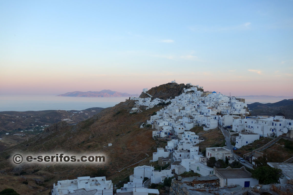
The biggest part of the path is paved, while the last part of it crosses the asphalt road. You start from the square of the Mills in Chora, you cross it and then you get to Castro and to Agios Ioannis Theologos, a small church built in the rock, the location of which offers a wonderful view to the Aegean Sea and to the islands around Serifos.
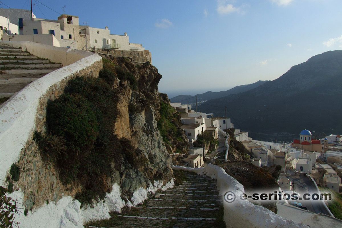
Then, the path leads to the neoclassic building of the town hall and then by following the signing through the beautiful narrow streets, you get to the settlement Varda with the church of Evaggelistria, which was built in 1907. When you cross Kato Chora, you shall see the church of Stavros, where you will find a fountain; cross the asphalt road ant walk towards Panagia Xecourastra. Here, as it is indicated by the name of the church[1], you can stop to have some water and take a rest. You shall cross the asphalt road two more times and you shall arrive to the church of Agios Isidoros, only 1.3klm. away from Livadi. From here to Livadi the path continues on the asphalt road.
Kentarhos (or Kallitsos) – Paliomitata – Chora
The path starts from the village Kentarhos and crosses the east mountainous side of Serifos. Its first part is a bad dirt road which stops a bit after Kentarhos, where the path is stone-paved even though in many points it needs maintaining and it mounts on Vounaki where from you can enjoy on your left the beautiful view of the blue Aegean Sea and of the island Vous.
After you have passed Vounaki and about 20 minutes later you shall get to Paliomitata and to the church of Stavros, which is situated in the middle of the course.
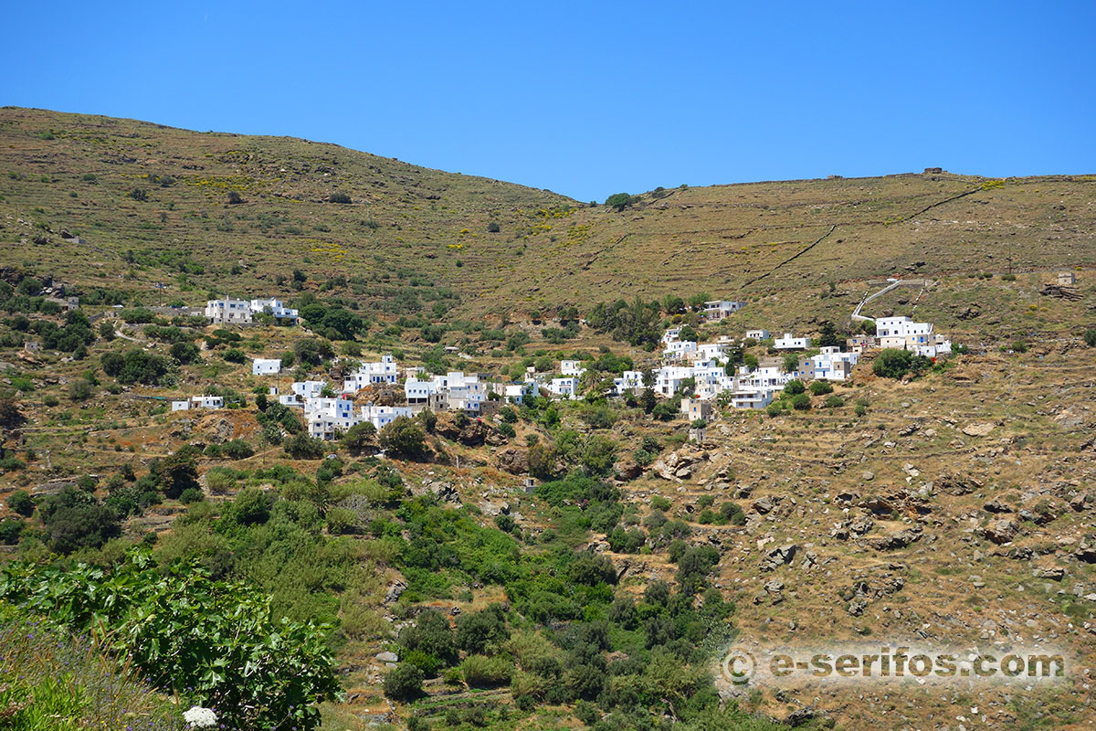
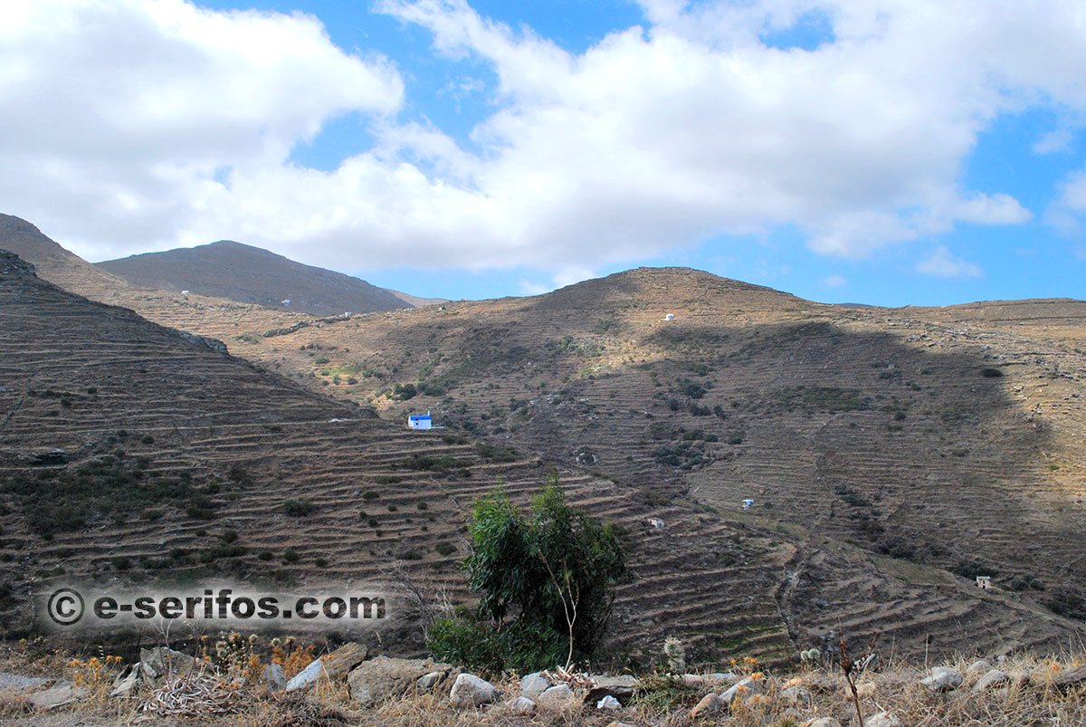
Here the landscape changes its form as there are vines and dry stone walls that run across the slopes.
A bit further down, the path ends at a fork, where you should take the left path. After Pano Stavros you shall get to the area Kipoi, and on your left there is the church of Kato Stavros and a bit later you shall arrive to the area Palio Pigadi with the church of Agios Stefanos, the spring and a small stone bridge. After a short rise you shall arrive to Chora.
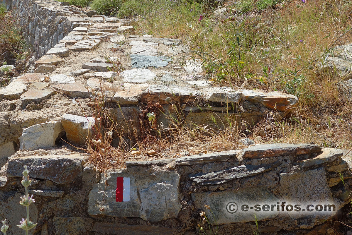
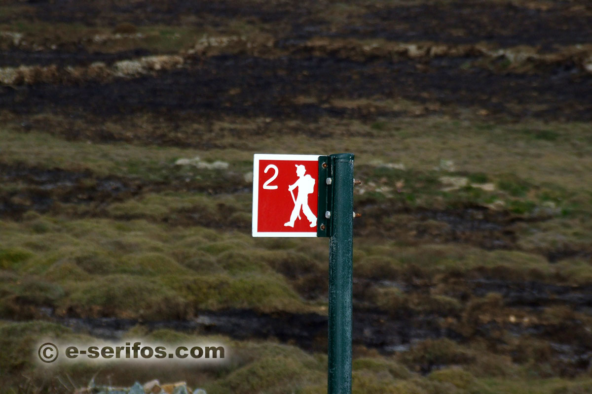
In some parts of the path, the signing might be destroyed due to the opening up of the road, therefore your full attention is required.
Kentarhos (or Kalitsos) – Paliomitata – Marmari – Chora
The path starts from the village Kentarhos and it crosses the east mountainous side of Serifos. Its first part is a bad dirt road but a little bit after Kentarhos the paths gets paved even though in many parts it needs maintaining, and it continues on Vounaki, where from you can admire on your left the beautiful blue Aegean Sea and the small island Vous.
After you have passed Vounaki and about 20 minutes later you shall get to Paliomitata and to the church of Pano Stavros, which is situated in the middle of the course. A bit further down, the path ends at a fork, where you should take the right path, which is a very smooth one and you shall get to the area Marmari.
Keep following the path and you shall get to Kipoi, where you shall find an old stone bridge and a bit later you shall find the Spring of Mavros. Right after this the path leads to Chora.
In some parts of the path the signing might be destroyed due to the opening up of the road, therefore your full attention is required.
White Tower – Koutalas
One rather short and smooth path starts a little bit after the White Tower (near the crossroads to Megalo Livadi – Koutalas). At the first fork that you shall find, take the left path and after a while you shall get to a stone fence, where you must open the door to follow the path.
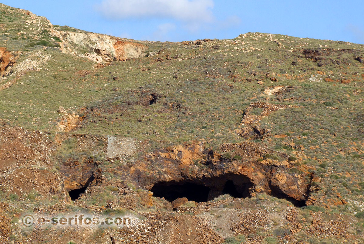
The landscape around you is full of mine galleries and marks of the period when the mines used to operate.
When you pass this part, and you find the rails, follow them leaving the path and when they end take the path again and follow it to get to the settlement Koutalas. The settlement was at its acme during the time when the mines used to operate, while there are still traces of that time in the area and on the beach. When you arrive, you can relax and swim in the deep blue waters of the beach of Koutalas.
Gyftika – Chora
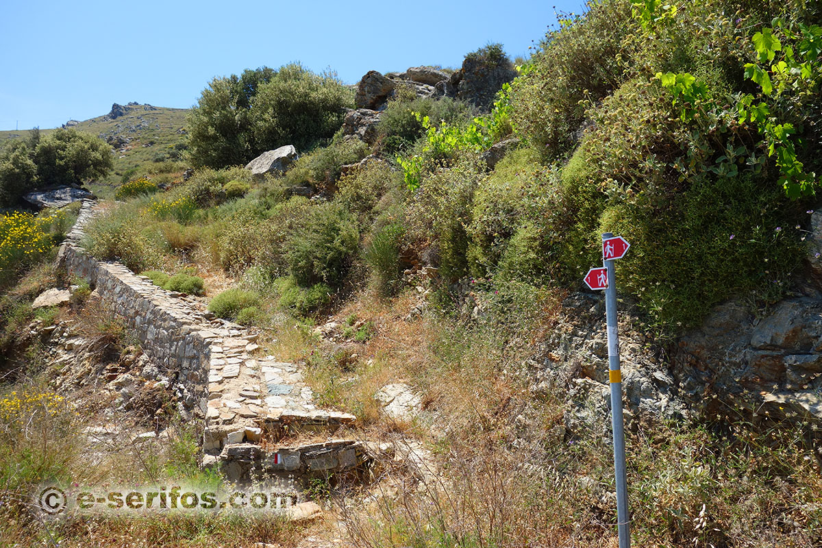
It is a short path and one of the best maintained ones. The course is part of the old path of the mine workers; it starts from the area Gyftika (at the helicopter airport) and it leads to the church of Agios Georgios in PLakes. The course is called “the street of slabs” and it one of the most beautiful stone-paved paths of Serifos.
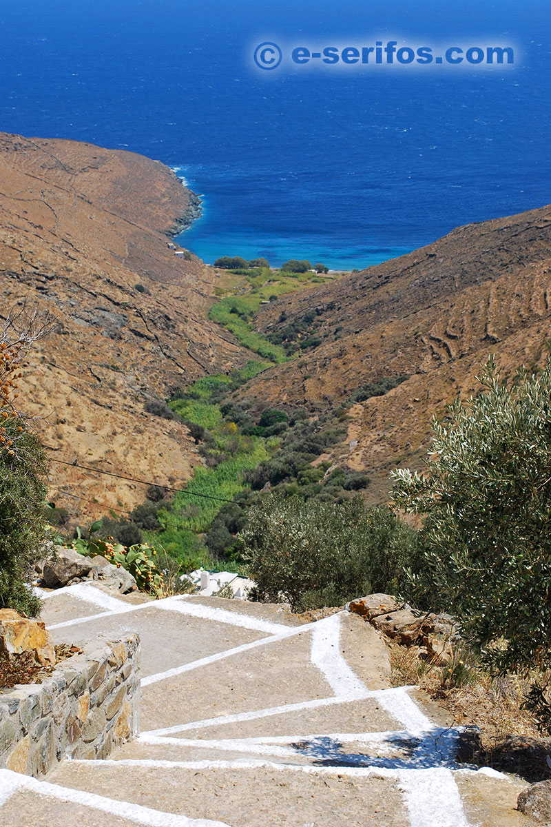
The path runs through the mountainous landscape, while you can also see some of the old buildings where the locals used to keep their cattle. After the church of Agios Giorgis the path is paved and downward, while after each turn the view of Chora on the rock shall take your breath away.
Gyftika – Varsamos – Panagia
The path starts at the area Gyftika (at the helicopter airport), it continues towards the north and it crosses the center of the mountainous area of Serifos. In the beginning it is rising for about 20 minutes and then it gets to the gully of Varsamos, where you shall find a spring.
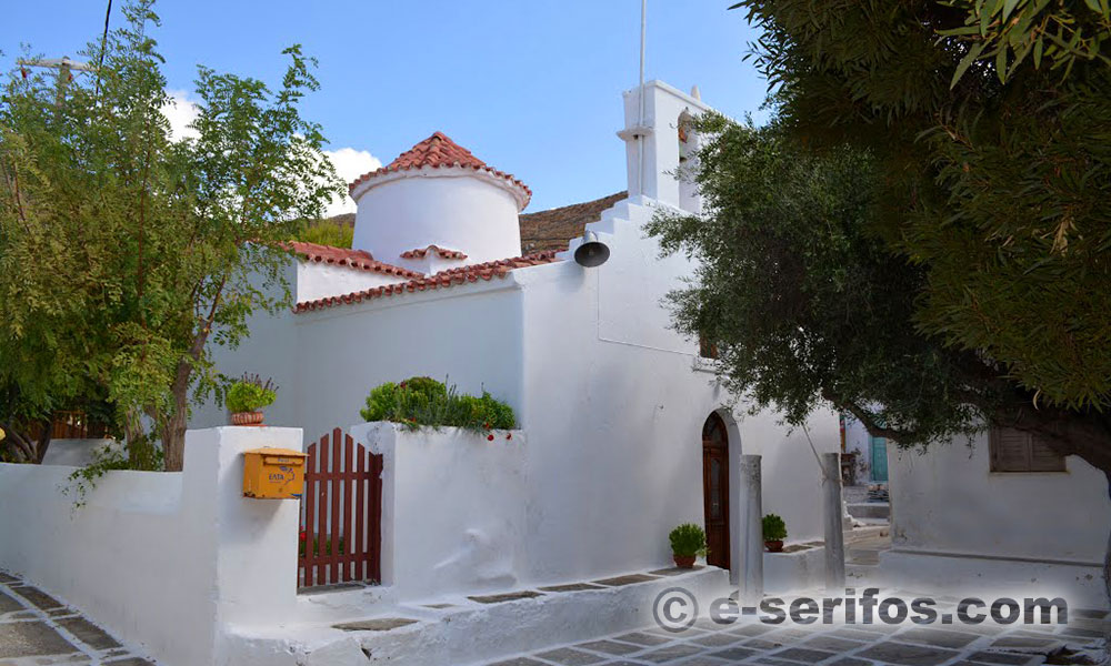
On your left, there is the church of Agios Stefanos dating from the 14th century and on your right the church of Agios Vasilios.
If you keep following the path you shall get to Panagia, a beautiful and picturesque settlement of Serifos. Here you shall find the Byzantine church of Panagia, which is the most ancient one in Serifos.
The church is called Xylopanagia because of an ancient custom of the locals that used to take place during the festival on the fifteenth of August, which is also the most popular festival of Serifos.
Panagia – Sycamia
If you start from the village Panagia and you take the path which is quite smooth, you shall pass the churches of Agia Varvara and Agia Anastasia. Then, you cross a concrete bridge and then the path passes over Kato Dipotamata, a gully which still has water during the summer and on its edges there are interspersed dovecotes and other buildings, which are constructed according to the traditional architecture of Serifos.
Then, if you keep following the path, you shall get to the beautiful beach of Sycamia, where you shall also find a tavern with local specialties which is open during the summer.
Pirgos – Galani – Sycamia
The starting point of the path is located in the abandoned settlement of Pirgos, one of the oldest settlements of Serifos.
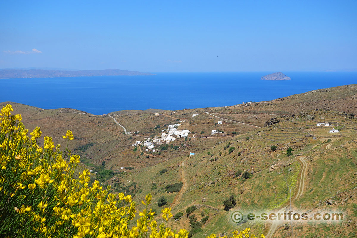
The path runs through the "Mountain of Lycourgos", where you shall find the church of Agios Polycarpos. In the area there are ruins of the Roman Period and in a short distance to the right the uninhabited settlement of Potamia with the old buildings and the dovecotes.
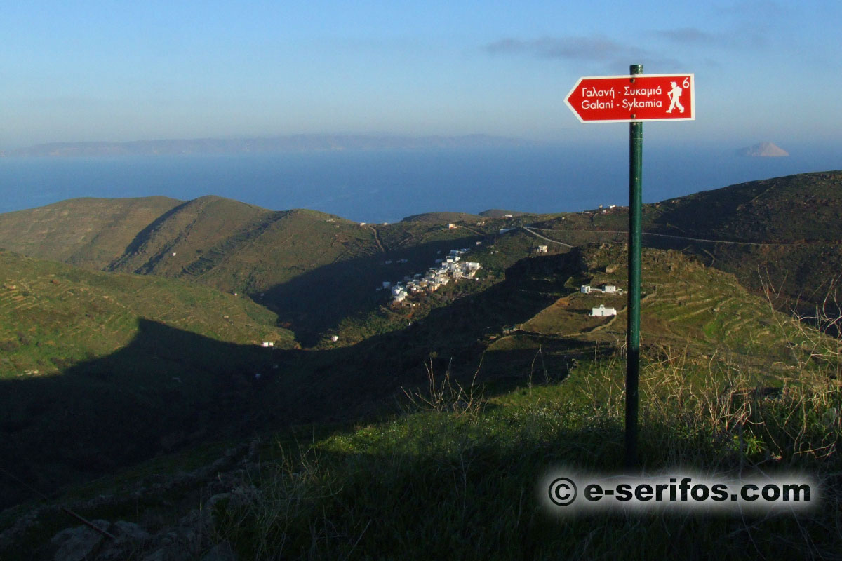
If you take the path in Agios Polycarpos you shall get to the settlement Galani, which is named after the galena mines that used to be here. Here starts a path that leads to the beautiful bay of Sycamia with the wonderful beach.
In 2003, the company Paths of Greece marked anew three of the paths of Serifos. Click here, for more information, photos and a map with the recently marked paths if Serifos.
Gallery
